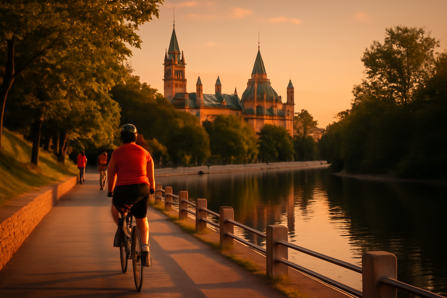
If you are looking for the best Ottawa bike paths, start with the National Capital Commission’s Capital Pathway network: several hundred kilometres of largely car-free, paved multi-use routes that link the Rideau Canal, the Ottawa River shorelines, Gatineau’s riverfront and the parkways of Gatineau Park. The eight routes below are the ones worth building a visit around, each with its own length, surface, character and ideal rider.
This page is the route fiche guide. For rentals, gear, Sunday Bikedays and the etiquette of sharing the paths, see our companion Ottawa cycling and biking guide.
How the NCC Capital Pathway Network Fits Together
The Capital Pathway is not a single trail but a connected grid. Three corridors anchor the Ontario side — the Rideau Canal, the Ottawa River, and the Rideau River — while the Quebec side is served by the Voyageurs Pathway along the Gatineau shore and by the parkways that climb into Gatineau Park. Dedicated pedestrian and cycling bridges at Alexandra, Portage and Champlain join the two sides, so a single ride can combine canal, river and forest in one loop. Kilometre markers and consistent signage appear on the busiest sections, and all routes described here are paved unless noted.
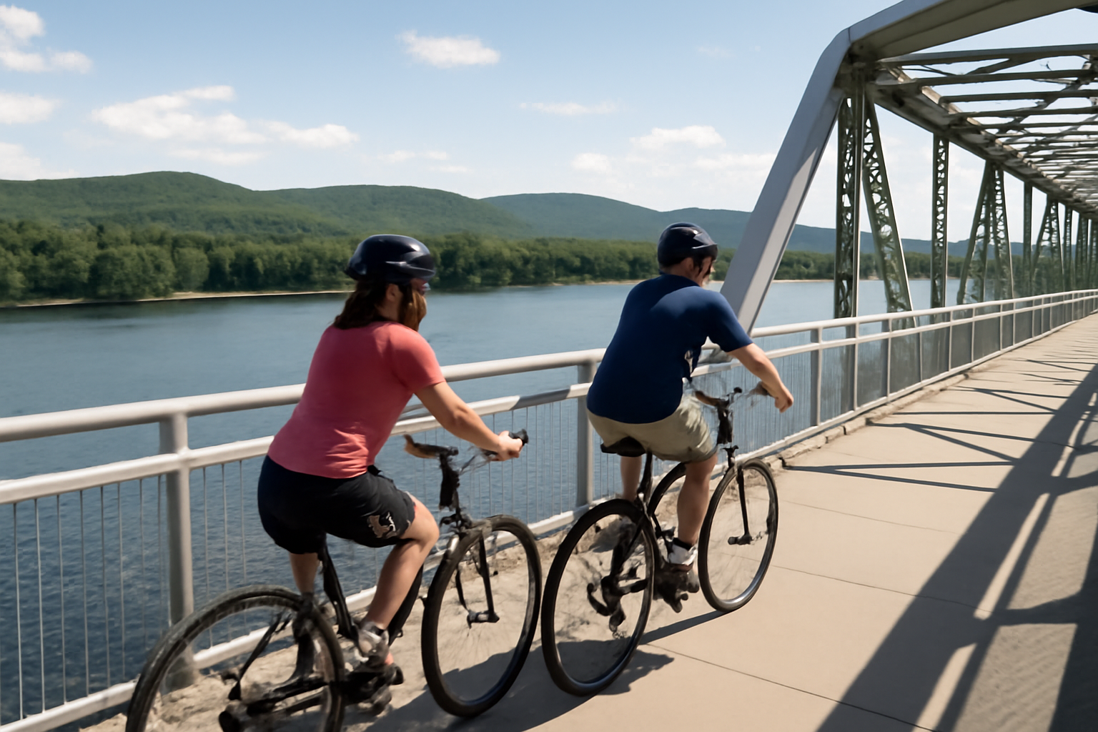
The Rideau Canal Pathways
The canal corridor remains the most ridden bike path in the capital, and the most useful for visitors. Two parallel pathways — one on each bank — run from the downtown locks past the University of Ottawa, the Flora Footbridge and Dow’s Lake to the Hartwells Locks at the canal’s south end, a flat ride of roughly eight kilometres one way. The western pathway carries slightly more commuter traffic on weekday mornings; the eastern side feels calmer and passes closer to the water.
The direct answer most visitors want: yes, you can ride the full length of the canal on a paved, separated path with almost no elevation gain, and the surface is wide enough to ride two abreast outside peak hours. On summer Sundays, the adjacent Queen Elizabeth Driveway closes to cars under the Sunday Bikedays program, adding a second, even wider lane of asphalt beside the pathway itself. The canal’s locks, stone walls and flight of the Rideau are covered in depth in our Rideau Canal UNESCO heritage guide.
The Ottawa River Pathway, Ontario Side
From the locks below Parliament Hill, the Ottawa River Pathway runs west along the shoreline past the Canadian War Museum, Lemieux Island and the islands off the Kitchissippi neighbourhood, reaching as far as Britannia Beach roughly twenty kilometres from downtown. This is the scenic workhorse of the network: wide pavement, water on one side, alternating lawns and forest on the other, and almost no intersections once clear of the museum district.
The character changes by segment. The first few kilometres are urban and busy, shared with joggers and walkers heading to the river beaches. From Westboro onward the path feels almost rural, curving through wooded shoreline where herons and occasionally beaver are spotted at dawn. It is the best long, flat ride in the city for confident cyclists who want distance without leaving pavement.
The Voyageurs Pathway, Gatineau Riverfront
On the Quebec side, the Voyageurs Pathway follows the Ottawa River east from the Portage and Alexandra bridge landings through the Hull district and onward toward the Casino du Lac-Leamy area. The urban Hull segment is smooth, flat and lined with lookouts over the water back toward Parliament — arguably the finest skyline view available from a bike saddle anywhere in the region, especially at dusk.
Because it starts directly at the bridge crossings, the Voyageurs Pathway is the natural first Quebec-side ride: cross from downtown, follow the river, and loop back over a different bridge for a round trip of fifteen to twenty-five kilometres with no serious climbing.
Lac Leamy Parkway Loop
Just east of the Casino du Lac-Leamy, the Lac Leamy parkway circles the lake through a landscaped corridor of marsh boardwalks, beaches and picnic clearings. A full loop runs around twelve to fifteen kilometres depending on the variants taken, with gentle rollers rather than real climbs. The parkway is closed to through traffic on summer weekends and holiday mornings, turning it into one of the most relaxed family circuits in the region — wide pavement, water visible most of the way, and several swimmable beaches with supervision in season.
The Gatineau Park Parkways
The three Gatineau Park parkways — Gatineau, Champlain and Fortune Lake — form the region’s signature ride for stronger cyclists. Paved, smooth and closed to motor vehicles on weekend mornings from late spring through fall (and on weekdays once the leaves turn), they climb steadily from the park’s southern entrances into maple and birch forest, past the Mackenzie King Estate turnoff and up toward the Champlain and Étienne-Brûlé lookouts.
Count on real elevation here: the run from the P8 or P9 access points to the Champlain lookout gains several hundred metres over roughly twelve kilometres. The reward is the finest panorama in the region — the entire Ottawa Valley laid out below, with the capital’s towers on the horizon. Descents are fast and shaded, so brakes and helmets matter. For what the park offers beyond the parkways, the Gatineau Park year-round guide covers the seasons in detail.

The Rideau River and Smyth Pathways
South of downtown, the Rideau River Pathway and its Smyth Pathway continuation run along the eastern bank of the Rideau River from the Hog’s Back area toward Mooney’s Bay, a quiet alternative to the canal that locals favour on weekends. The route is flat, paved and shaded by mature trees, passing river beaches, a waterfall viewpoint at Hog’s Back and several riverfront parks with water fountains. It connects cleanly to the canal pathways at the southern end, so it works equally well as a standalone out-and-back or as the return leg of a longer loop.
The Arboretum and Experimental Farm Loops
The Central Experimental Farm, immediately west of Dow’s Lake, offers a network of low-traffic internal roads and short pathway connectors ideal for an unhurried hour: the Arboretum’s collection of rare trees, the ornamental gardens, and the long ceremonial drive past the heritage barns. Nothing here is strenuous or long, but the setting — working farmland ringed by a capital city — is quietly remarkable, and the Farm links directly to both the canal and the Ottawa River corridors.
Which Bike Path for Which Rider
| Path | Approx. one-way distance | Surface | Profile | Best for |
|---|---|---|---|---|
| Rideau Canal pathways | 8 km | Paved | Flat | First-time visitors, sightseeing pace |
| Ottawa River Pathway (Ontario) | up to 20 km | Paved | Flat | Distance riders, scenery |
| Voyageurs Pathway (Gatineau) | 10+ km | Paved | Flat | Skyline views, easy Quebec crossing |
| Lac Leamy loop | 12-15 km loop | Paved | Gentle rollers | Families, weekend closures |
| Gatineau Park parkways | 12+ km to lookout | Paved | Steady climb | Strong riders, panoramas |
| Rideau River / Smyth | 8-10 km | Paved | Flat | Locals’ quiet alternative |
| Arboretum / Farm loops | 3-6 km | Paved sections | Flat | Unhurried hour, gardens |
Seasons and Surface Conditions
The reliable window for all eight routes runs from April through October, when pathways are clear of ice and snow. Autumn is the standout season on the Gatineau side: the parkways stay open to cyclists after the fall colours arrive and weekday traffic thins dramatically. Winter maintenance covers only a limited set of urban segments — principally the central canal and river corridors — so cold-season visitors should plan short city rides rather than the network as a whole, and watch the NCC’s condition reports after storms, when debris and flooding can close low-lying river sections for days.
Access, Rentals and Etiquette
Every route above can be reached from the downtown core within a short ride, and rental shops near the ByWard Market put the canal and river access points within five minutes of the counter. Practical rules of the path stay consistent: keep right, pass left with a bell or a spoken warning, and yield to pedestrians at all times. Full detail on rental pricing, e-bike options, transit rules and Sunday Bikedays timing lives in the Ottawa cycling and biking guide, and general route planning across the region in our guide to getting around Ottawa.
Combining Paths with the Landmarks
The network’s real advantage is how directly it serves the sightseeing circuit. The canal pathways pass within metres of the locks below Parliament Hill; the Ottawa River Pathway skirts the Canadian War Museum; the Voyageurs Pathway frames the Hill from across the water; and a single long day can string together canal, both rivers and the Gatineau climbs. Riders planning a wider itinerary around the capital — including the Quebec side of the river — may also find the French-language guide to Ontario and the Ottawa region a useful cross-border planning companion.
Frequently asked
Yes. The Capital Pathway network is free and open to the public year-round. There are no tolls, permits or access fees on any of the routes described here, including the sections that enter Gatineau Park.
The Rideau Canal pathways and the Arboretum loops are the most family-friendly options: both are flat, fully paved, close to water and washrooms, and easy to shorten. The canal's western pathway between the downtown locks and Dow's Lake is the classic first ride, roughly five kilometres each way with no meaningful elevation.
Yes. From the downtown locks, follow the Ottawa River Pathway west to one of the dedicated cycling bridges — Alexandra, Portage or Champlain — cross into Gatineau, and continue on the Voyageurs Pathway toward the park's southern entrances. The entire route is on separated multi-use pathways, though the parkways inside Gatineau Park do share space with vehicles outside closure hours.
A limited selection of pathways receives winter maintenance, including central sections of the Rideau Canal and Ottawa River corridors, while most park and Gatineau-side routes are left snow-covered. Winter riding is possible on the cleared urban segments with appropriate tires, but casual visitors will find conditions far more reliable from April through October.
Rental shops cluster around the ByWard Market and downtown core, within a few minutes' ride of the canal and river access points. Most offer hourly, daily and multi-day rates on standard and e-bikes, with helmets and locks included.
Yes. OC Transpo buses and O-Train line 1 accommodate bicycles during off-peak hours, and several pathway access points sit near stations such as Parliament, Rideau and uOttawa. This makes one-way rides practical: ride out along a river or canal route and take transit back.